
Sharing the geographical data of a territory: the Géo Vendée data platform
- Published on
In a few figures...
9month
This is how long the project with Geo Vendée took
206
Integrated data sources
61 800
Viewed professional products
The project
Who is Géo Vendée?
Géo Vendée is a Public Interest Group (GIP) that helps the Vendée’s local authorities and public actors mobilize data in their public policies. Founded in 2006 as an association with about sixty members, the structure now has nearly 250 members. The Vendée’s elected officials wanted to make it a common tool for the benefit of the territory, which led to its transformation into a GIP in July 2025. Its role: to collect, validate, and valorize data from multiple sources, then make it available to its members.
The diagnosis
The data were not lacking. Satellite imagery, public data such as that from the IGN, business systems, connected sensors, files from the GIS (geographic information systems) of the communities: the sources were multiplying, with varying formats and quality. It became difficult to know the origin, the current status, and the history of a given data, and therefore to cross-reference and share it with confidence. It was necessary to move from data storage to a true geographic data service, capable of easily integrating new sources.
Our approach
We developed the approach with the teams at Géo Vendée, based on the needs and uses defined in the public market. Regular workshops enabled us to share the choices and validate the guidelines step by step. A multidisciplinary JEMS team was mobilized for 9 months: a commercial manager, project manager, project leader, tech lead, platform architect and data engineer. Training the Géo Vendée teams was part of the plan from the outset, so that they could evolve the platform themselves.
How to reliably share and use geographic data?
The Géo Vendée data platform processes geographic data in four stages, from the raw data to the business view used by the communities.
Collect. Each source, whether it comes through a file, API, transfer, or from a sensor, is loaded and normalized into a common space. The data from the same territory is thus centralized and can be cross-referenced.
Reliable and transforming. The data are prepared and enriched taking into account their geographical dimension: cross-layer analysis, territorial segmentation, calculation of indicators.
Exposing. Each member has access to ready-to-use views (mapping, plots, networks, land use, topography), filtered according to their contract and rights, and can view them from their own business applications and GIS tools via standard mapping services.
Industrialise. The foundation is based on a managed cloud and open source bricks, chosen for their durability and the autonomy they leave to Géo Vendée. The processing has been calibrated to handle large volumes: transfer times have been greatly reduced and execution costs are controlled.
We respond better to elected officials with reliable information, of which we know the quality and origin perfectly.
Cédric Seigneuret, Director of Géo Vendée
What results for the participating communities?
GV Live
Each producer retains control over their data
This interoperability and distribution platform allows each producer to control their data. They define their distribution methods and share them securely with the members of Géo Vendée.
Solar cadastral
A one-time need has become a public service
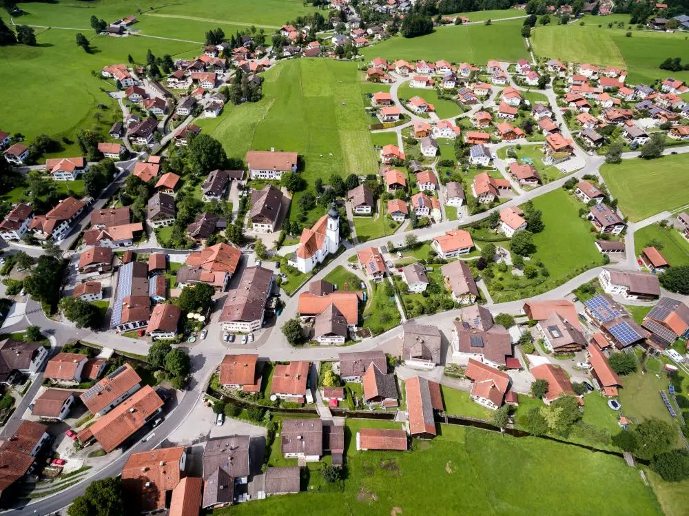
Local authorities have the solar potential of the roofs in their territory. They are using it to guide the development of solar energy in the Vendée region.
Connected sensors
The platform now integrates data from connected objects. For some cities, for example, it feeds into totems that display the actual status of parking spaces in real time.
Geographic data of which the origin is known
Each exposed data has a known origin and quality, which strengthens the confidence of the members. Géo Vendée continues to evolve this base as new uses emerge in Vendée.
In video: Cédric Seigneuret and Christophe Ledreux return to the project.
Discover how we transformed our clients' challenges
Are your geographic data difficult to exploit?
JEMS supports you from initial activation right through to complete adoption
and to business use cases.